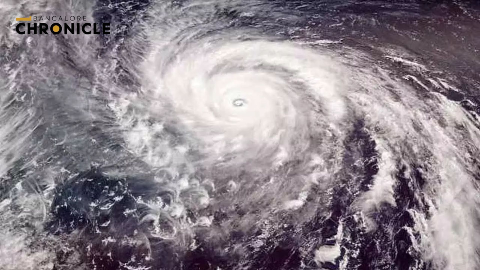
- Cyclone Fengal is developing over the Bay of Bengal.
- It is expected to intensify in the next 1-2 days.
- The storm may move northwest towards the coasts of Tamil Nadu and Sri Lanka.
- Landfall is predicted near Chennai or Puducherry.
The India Meteorological Department (IMD) is closely monitoring the situation. The cyclone is anticipated to continue its slow north-northwest movement, reaching the coast around November 30.
The name “Fengal” was provided by Saudi Arabia through the World Meteorological Organization’s cyclone naming system. This system includes names contributed by 13 countries in the region. While the specific meaning of “Fengal” is not detailed, names generally reflect cultural or environmental significance.
As the cyclone intensifies, authorities are bracing for heavy rainfall, strong winds, and rough seas, especially in Tamil Nadu and Sri Lanka. The Indian Navy is on high alert to assist affected areas along the coast. They are coordinating with local and state authorities to ensure resident safety and provide support for flooding or other storm-related issues.
The system, which began as a deep depression, is set to strengthen into a cyclonic storm within the next 12 hours. Warnings have been issued for coastal areas. Residents are urged to prepare for rough seas and strong winds.
The government and meteorological agencies are continuously monitoring the cyclone’s progress. They are providing updates and safety guidelines to minimize the impact on coastal communities. The Navy and local authorities are ready to act in order to protect lives and property.


